Trans WNC FKT Attempt
Friday started off like most mornings. Wake up by 5am then head to McHone Performance Training to get the day started with personal training clients and small group training classes. The only difference was that after finishing up the morning sessions I would be getting prepared for an attempt at riding the Trans WNC Bikepacking Route as fast as possible.
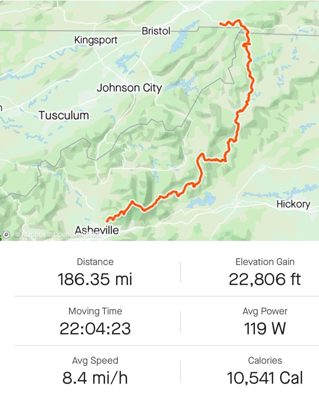
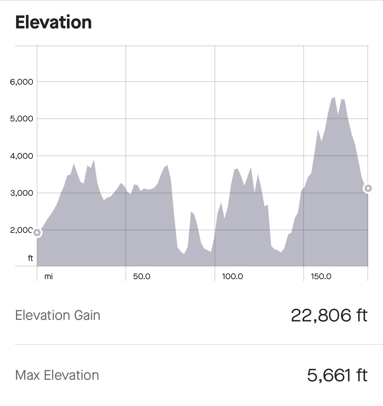
The Trans WNC route is 314 miles long with 35,458 feet of elevation as it traverses from Damascus Virginia along the Blue Ridge Mountains until the Georgia state line. This route is a suggested 5 day trip but my goal was to see how fast I could cover the route going light and on minimal sleep. It amused me how long it took to pack so little items for the trip.
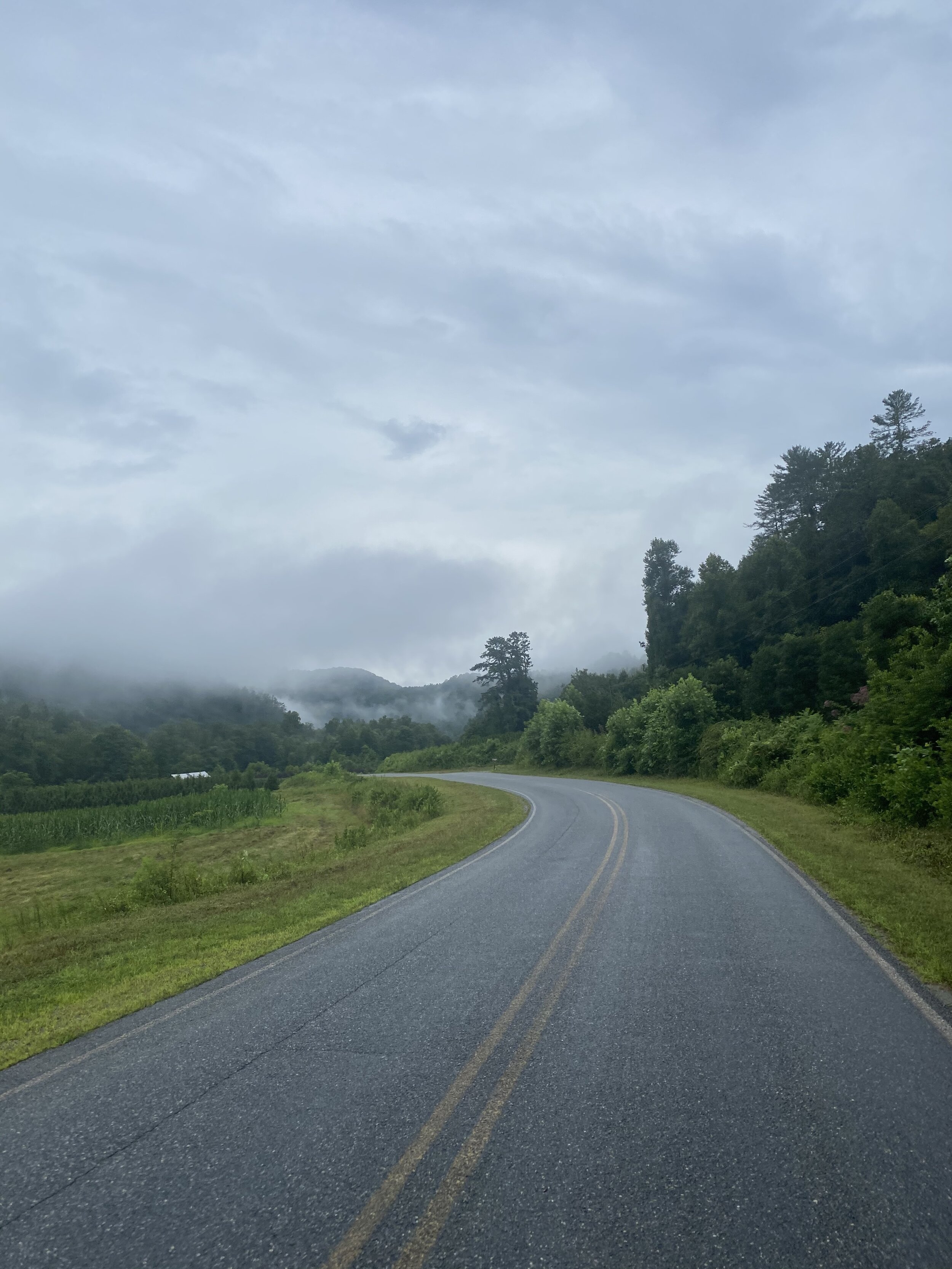
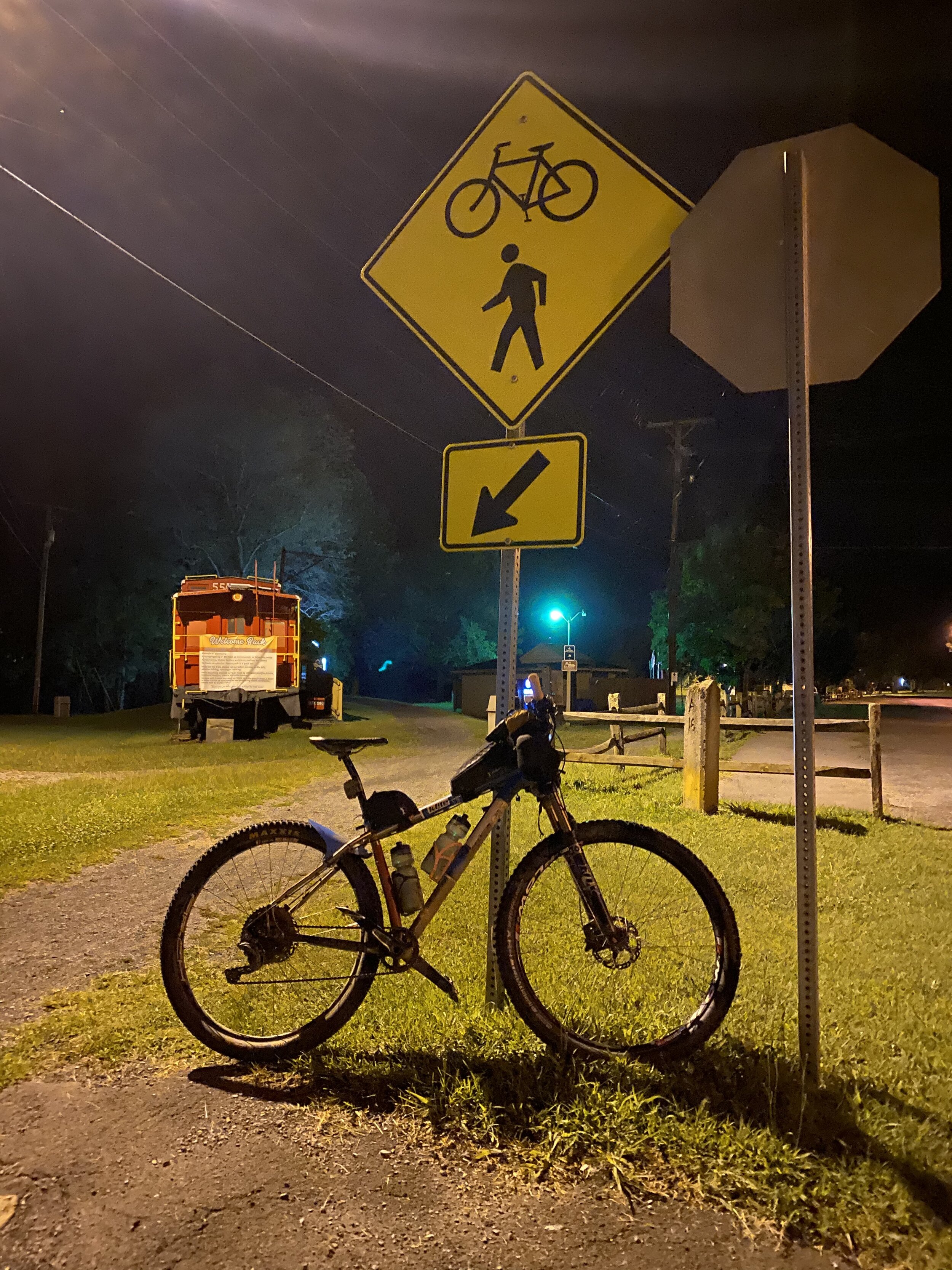
I rolled out of Asheville at 7pm Friday evening in the mini north bound to Damascus VA, the starting point of the Trans WNC. As I drove West on I-26 headed over the eastern continental divide I caught the clouds from the afternoon storm as they broke and drifted down into the valleys below. The sunlight faded fast and the rest of the drive into Damascus would be in the dark weaving through meandering mountain roads. El Mar was almost fully loaded except for snacks and electronics. Time for a 2 hour nap in the back of the mini before finishing up the bike set up and gear prep.
The alarm went off and it was time to get at it, I gave myself a 30 minute window in hopes to start my journey at midnight. Somewhat still dazed I finished packing the bike with snacks, loaded my rain jacket and emergency blanket into my fanny pack followed by put fresh batteries into my Spot Tracker and Garmin ETrex30. Here is a list of my gear and packing list.
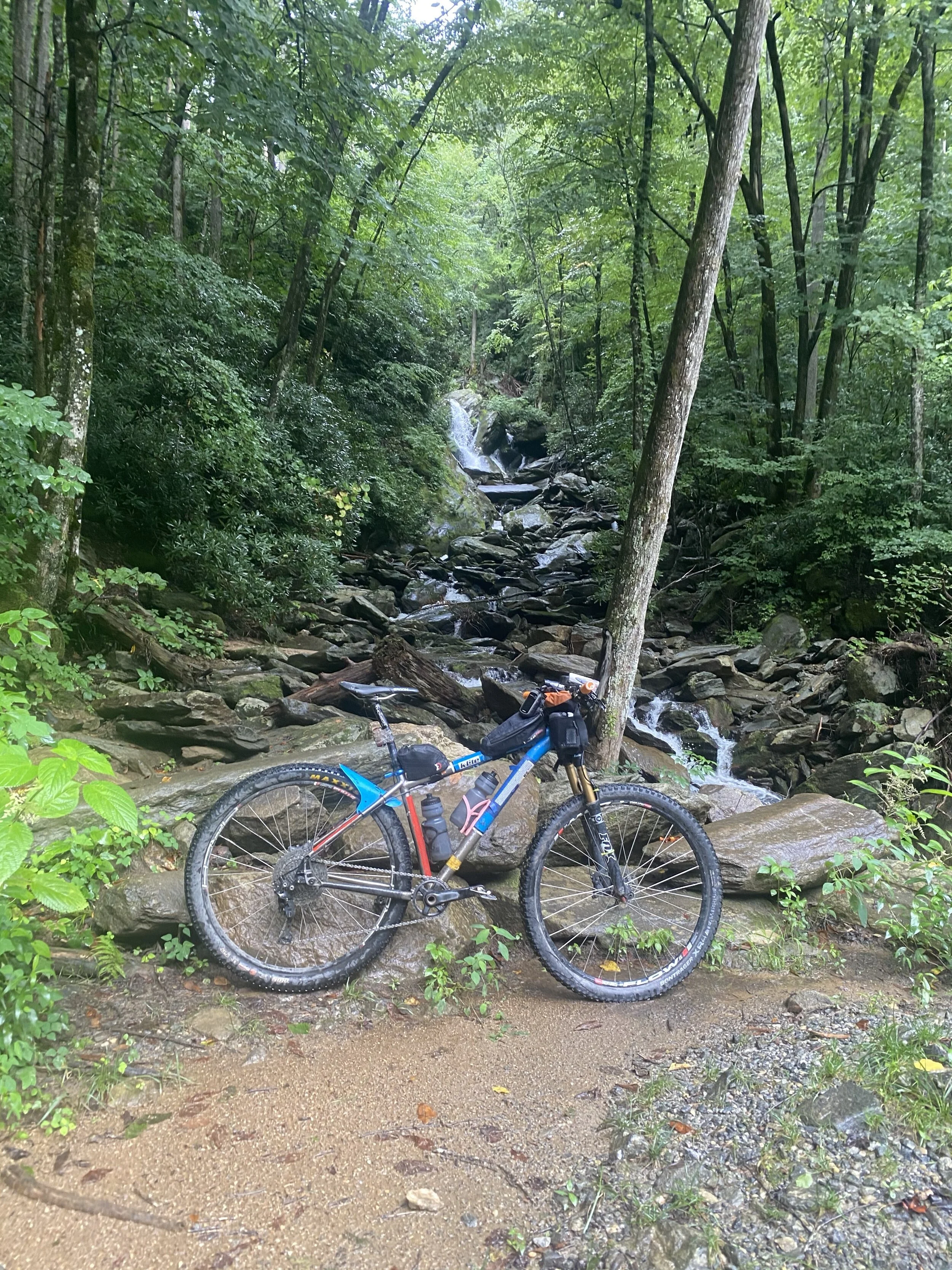
Bike: Ti Salsa El Mariachi
Bags: Revelate Designs Gas Tank, Jerrycan & 2 Mountain Feedbags
Electronics: Garmin ETrex30, Spot Tracker, 2 Goal Zero Battery Backs, IPhone, Power Cords
Accessories: North Face Rain Jacket, Emergency Blanket, Shop Towel, 3 Plastic Bags
Tools and Parts: 2 Chain Links, 2 Spare Tubes, Lube, Tire Tool, Multi Tool, Patch Kit
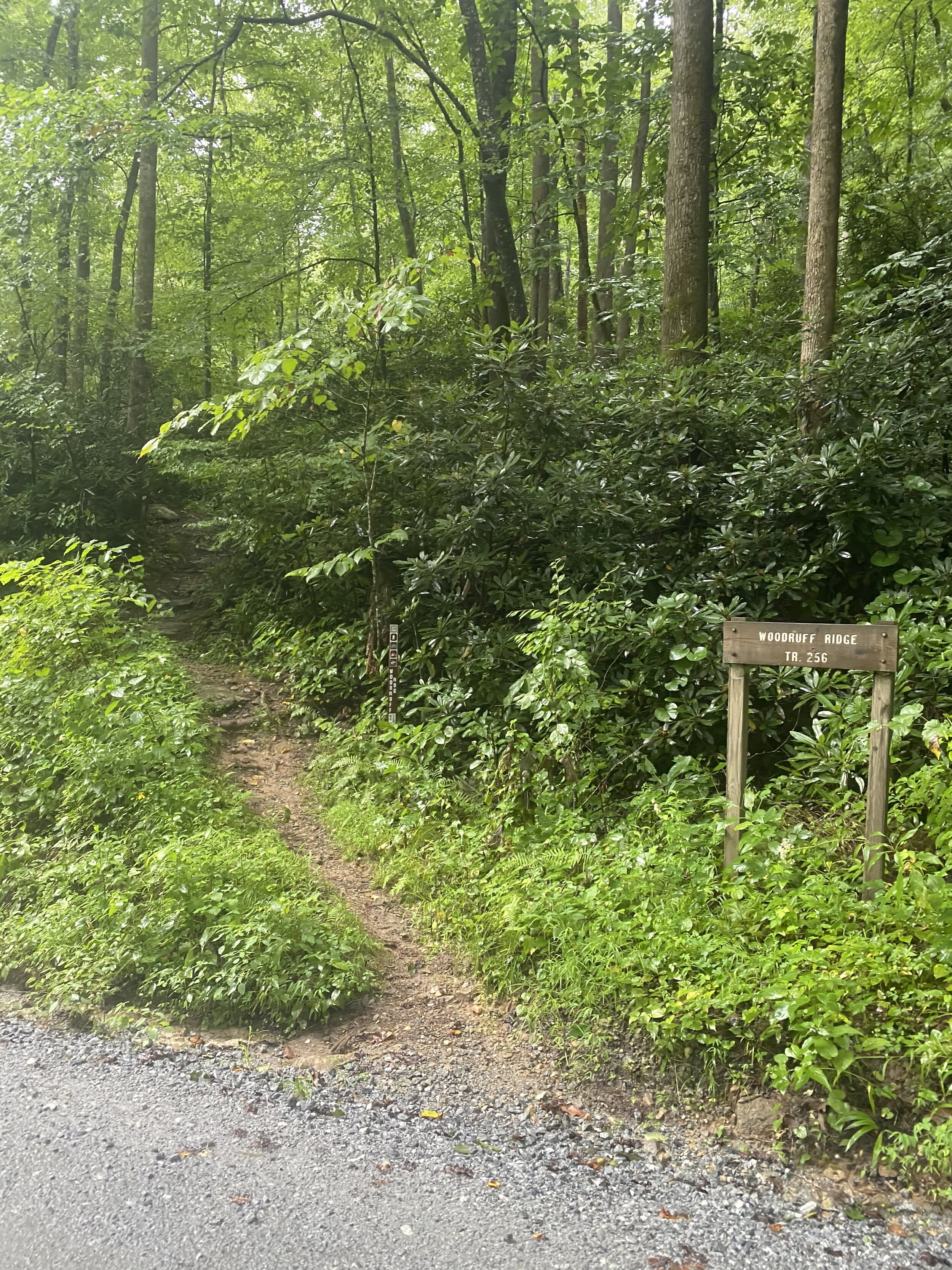
Loaded up and tracker live I slow peddled to the start of the route just a few minute ride alongside Beaver Dam Creek. The start of the route takes the Virginia Creeper Trail for 20 miles north out of town to White Top Terminis of the trail. Though there was 2000ft of climbing on this section the crushed limestone and gradual grade of the rail trail served as a perfect warm up. From White Top I continued to traverse a maze of paved roads and gravel roads, there are a lot of cars serving as lawn furniture out there in them parts. Luckily no aggressive dogs even in the late/early hours which can alway be a gamble out in the hollers and hills of WNC.
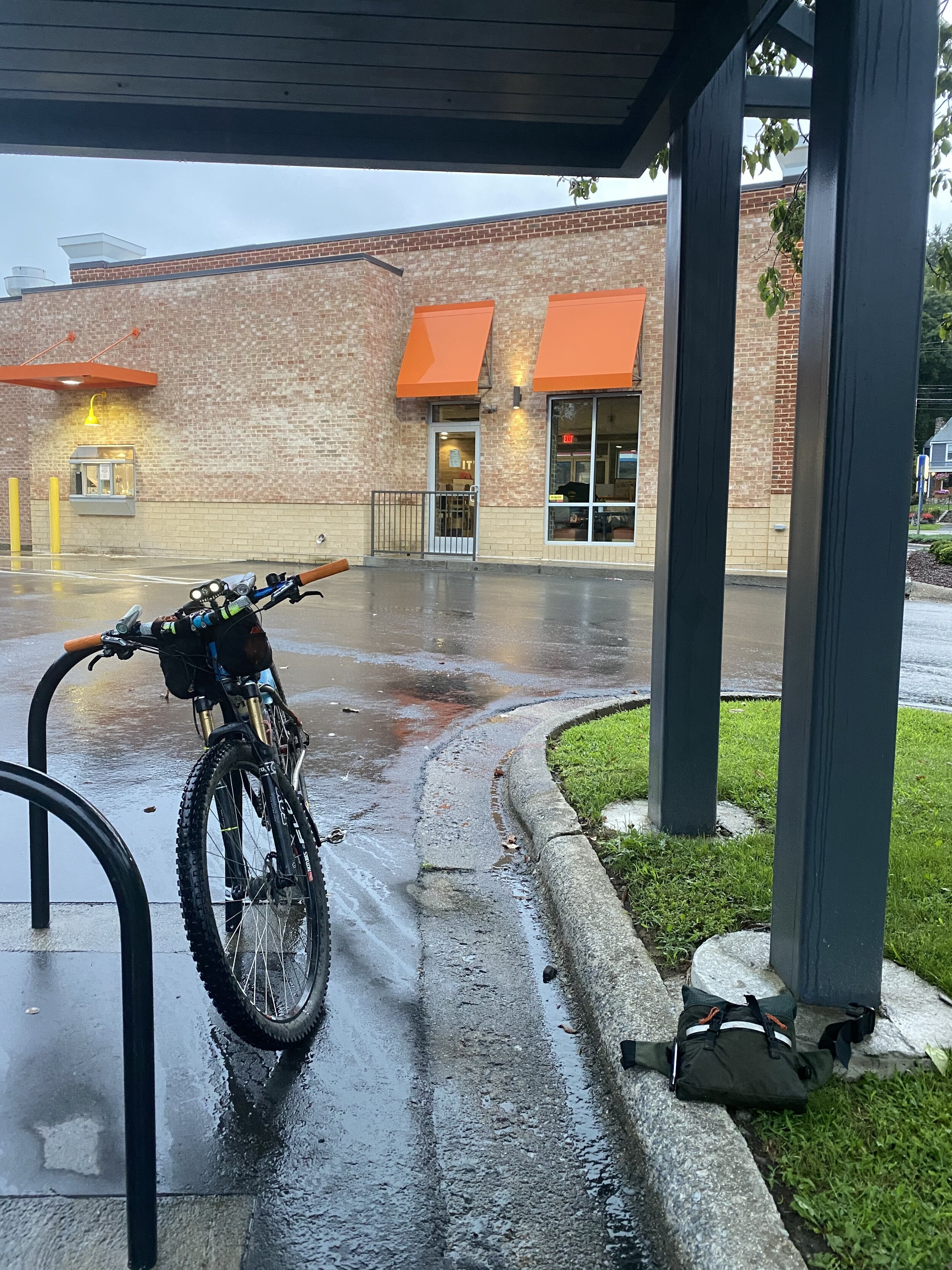
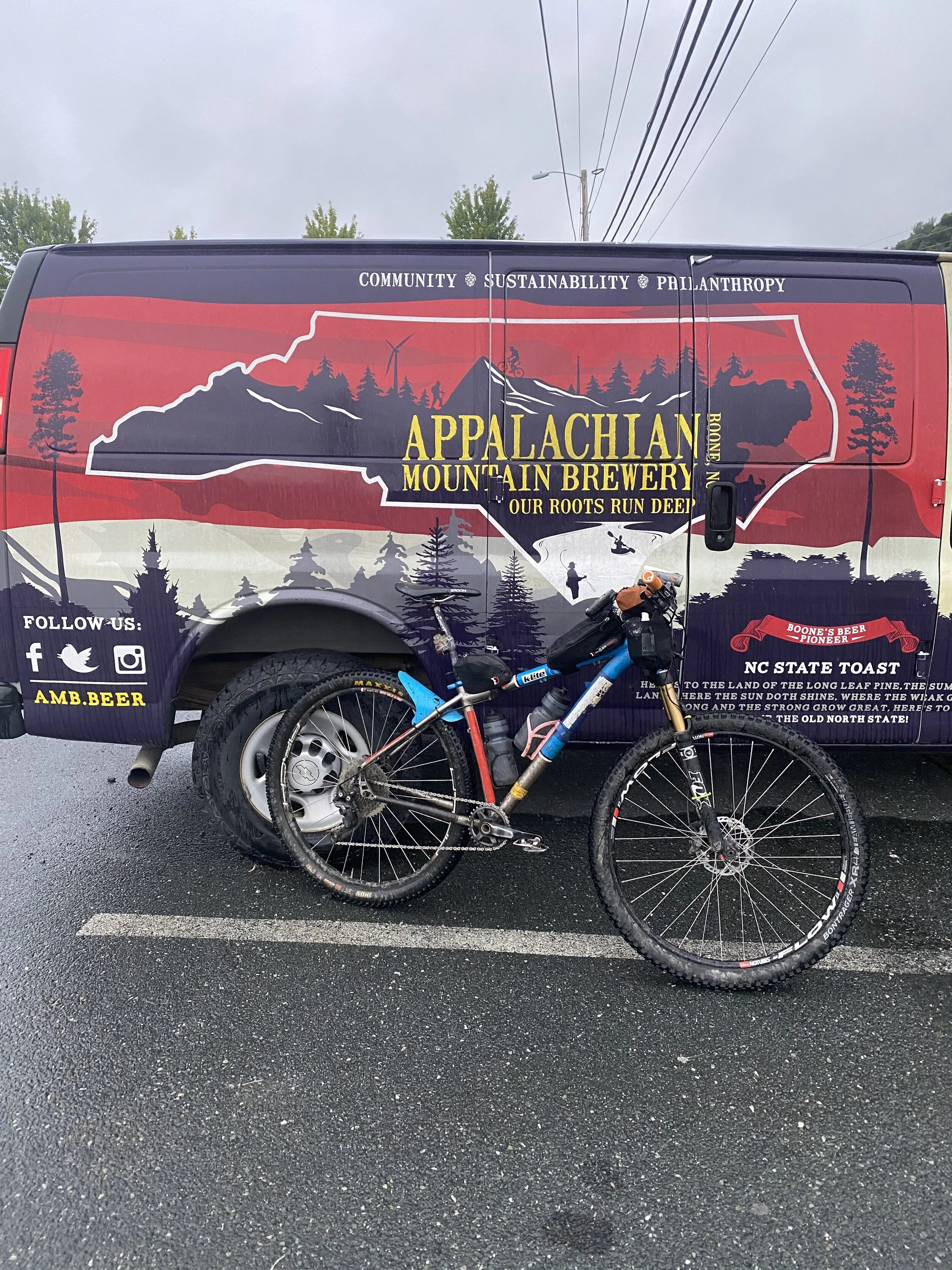
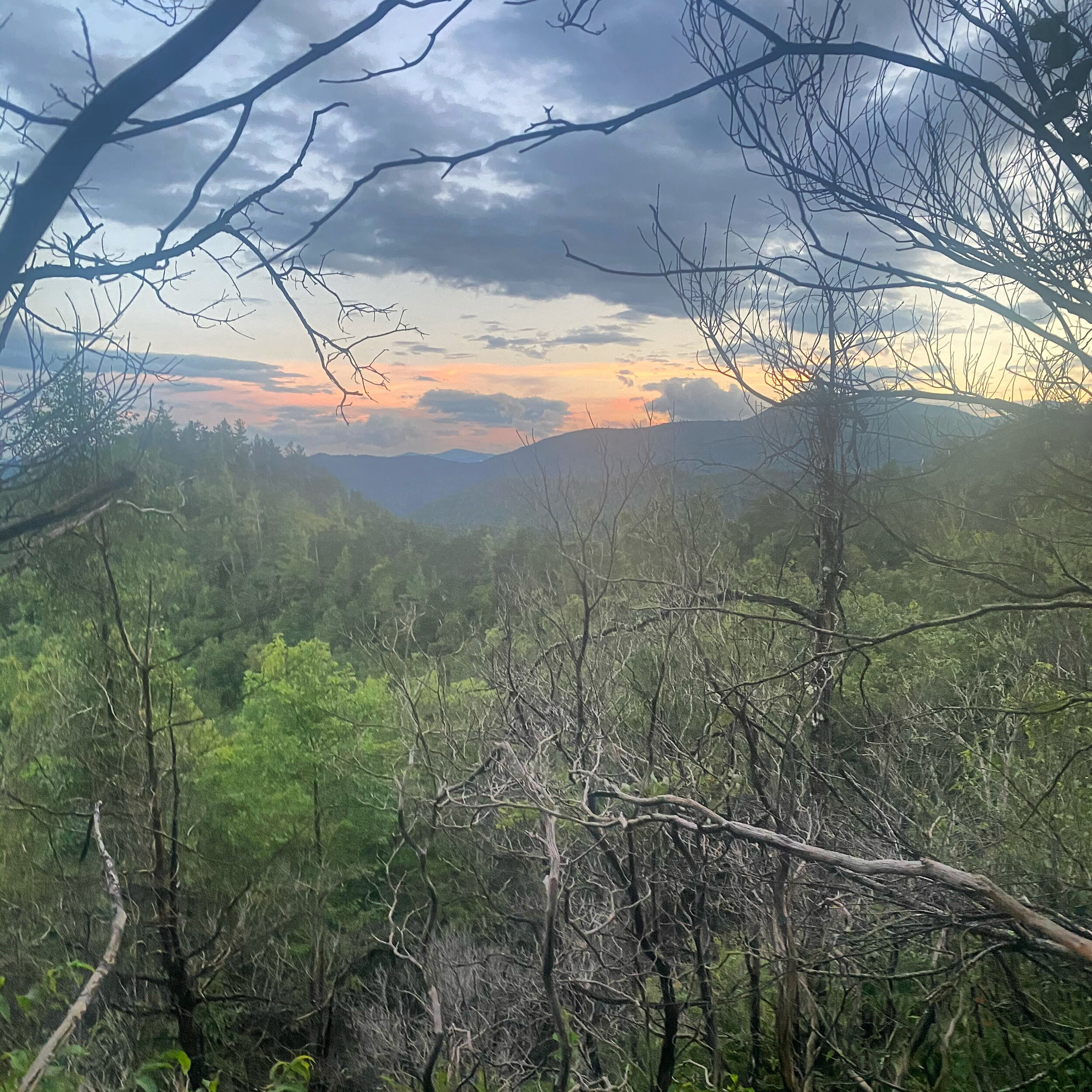
I rolled into Boone NC around 7am, just in time to grab a hot breakfast of Bo Rounds and two Cajun Chicken Biscuits from the Bojangles drive through. I packed one of the biscuits in my fanny pack to have for lunch later then headed back up the mountain to the Blue Ridge Parkway. The morning pedal was peaceful as I climbed up into the clouds along a gravel road all the way to the Parkway. From the Parkway the route went through the small mountain town of Blowing Rock. One of my favorite moments of the ride was the next turn off down what seemed to be a neighborhood street suddenly became a super rad gravel 2000 ft. descent looking down into the valley and clouds below into the community of Globe.
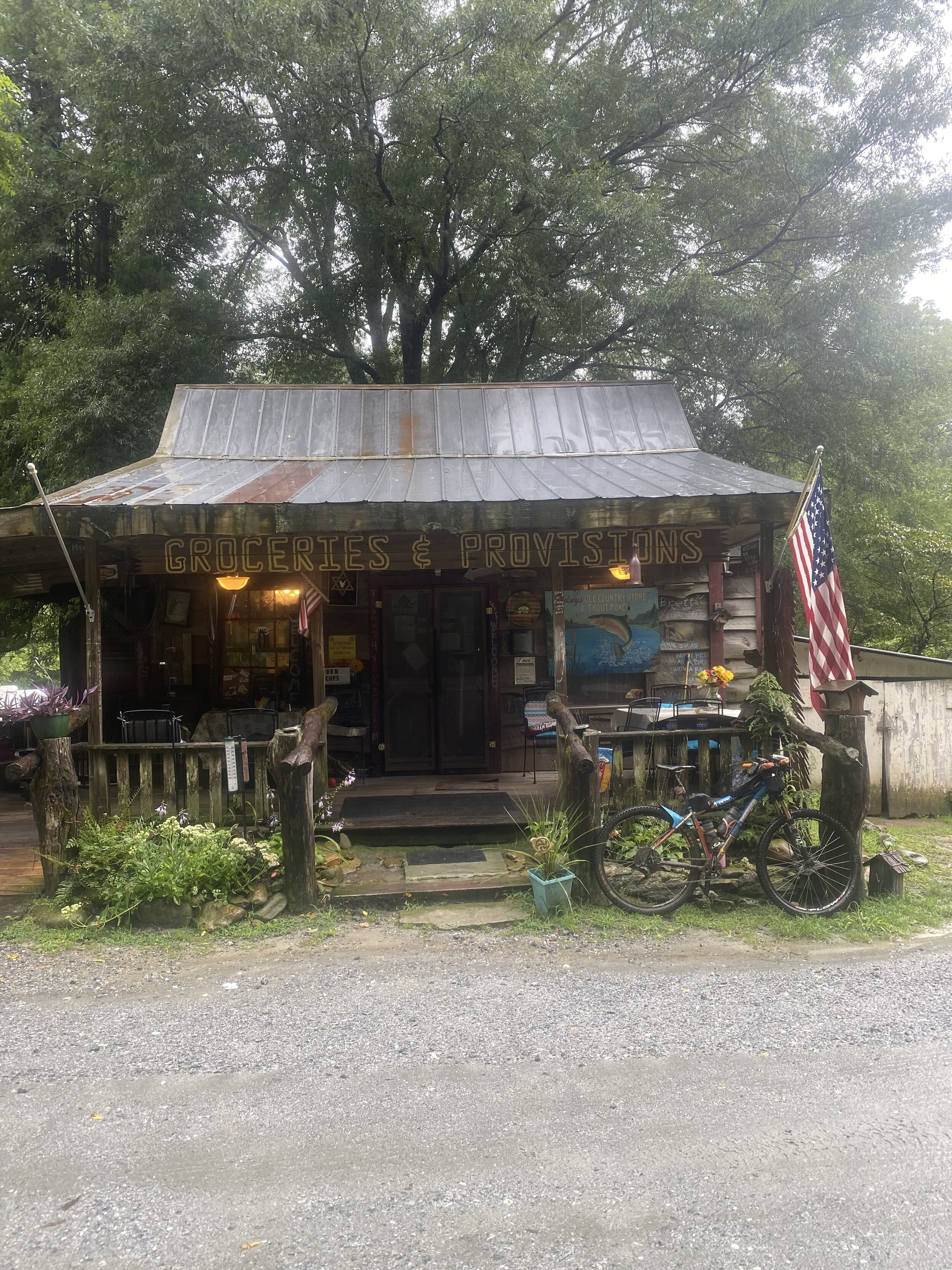
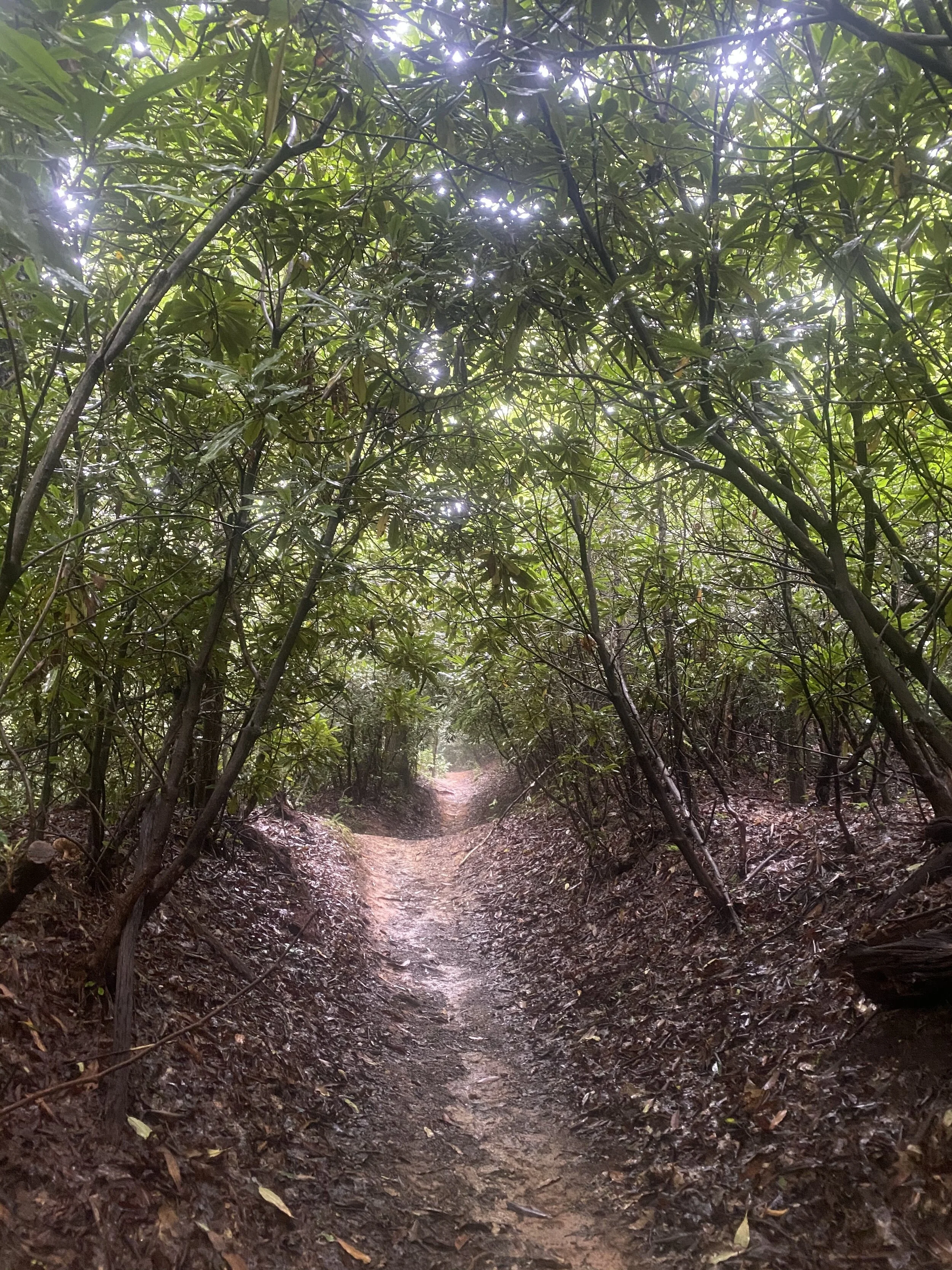
From Globe I continued on into the Wilsons Creek area. This is a magical section of forest with rugged steep classic Pisgah goat trails that turn into mountain bike trails covered in lush moss, prehistoric ferns and slippery root gardens. The flow track downhill sections were perfectly groomed and well kept. Perfect to let go of the breaks and get some woo hoo time in reigniting my stoke. Deep in the hollow the only access to resupply is Betsy’s Old Country Store, a small mercantile fueling cyclist, campers and outdoor adventurers was a gold mine on this ride. It was now around 10am but it felt much later since I had now been riding for 10 hours. Though it was starting to rain again I didn't want to get too comfortable underneath the awning and I knew better to sit down in a rocking chair.
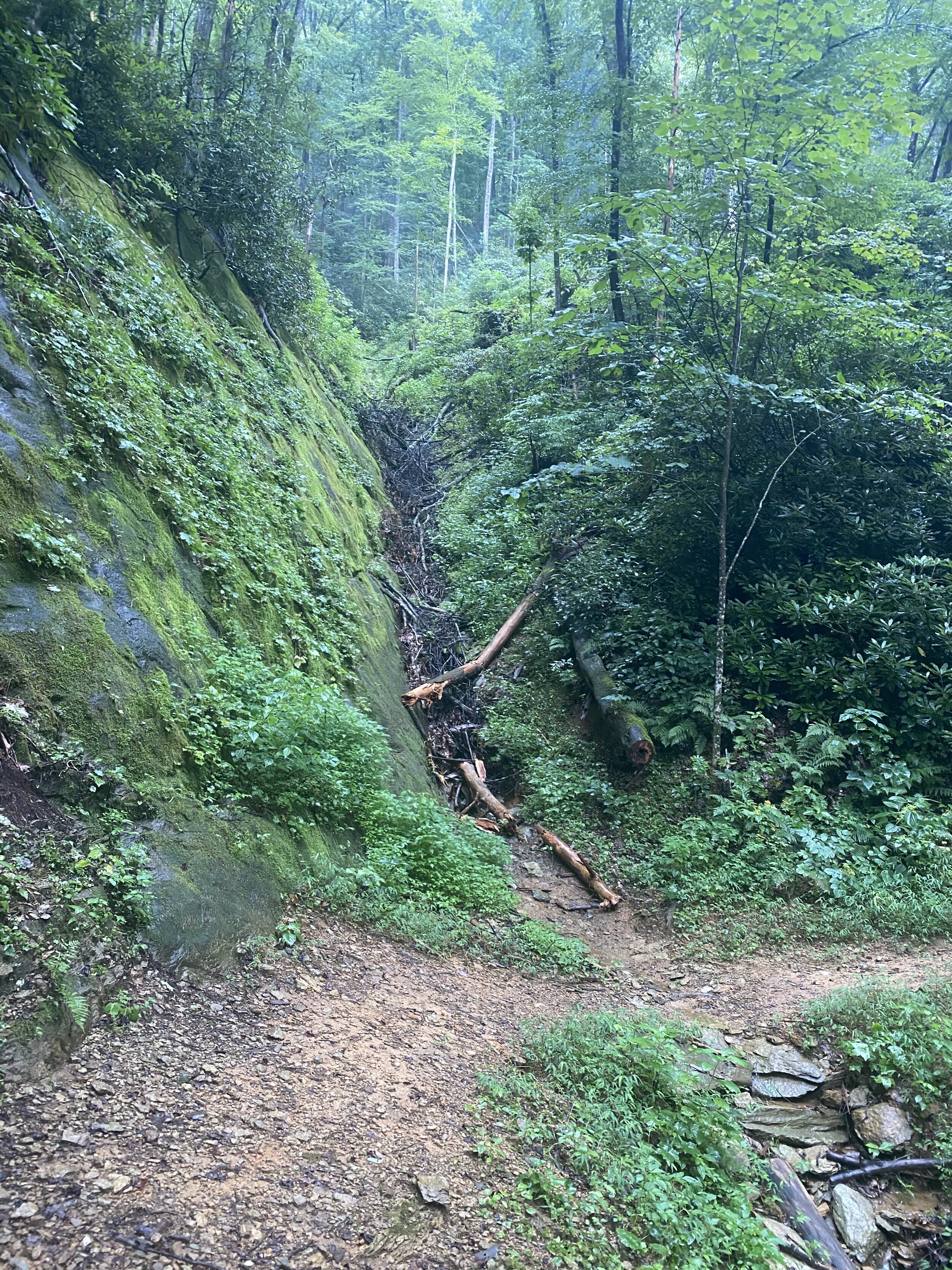
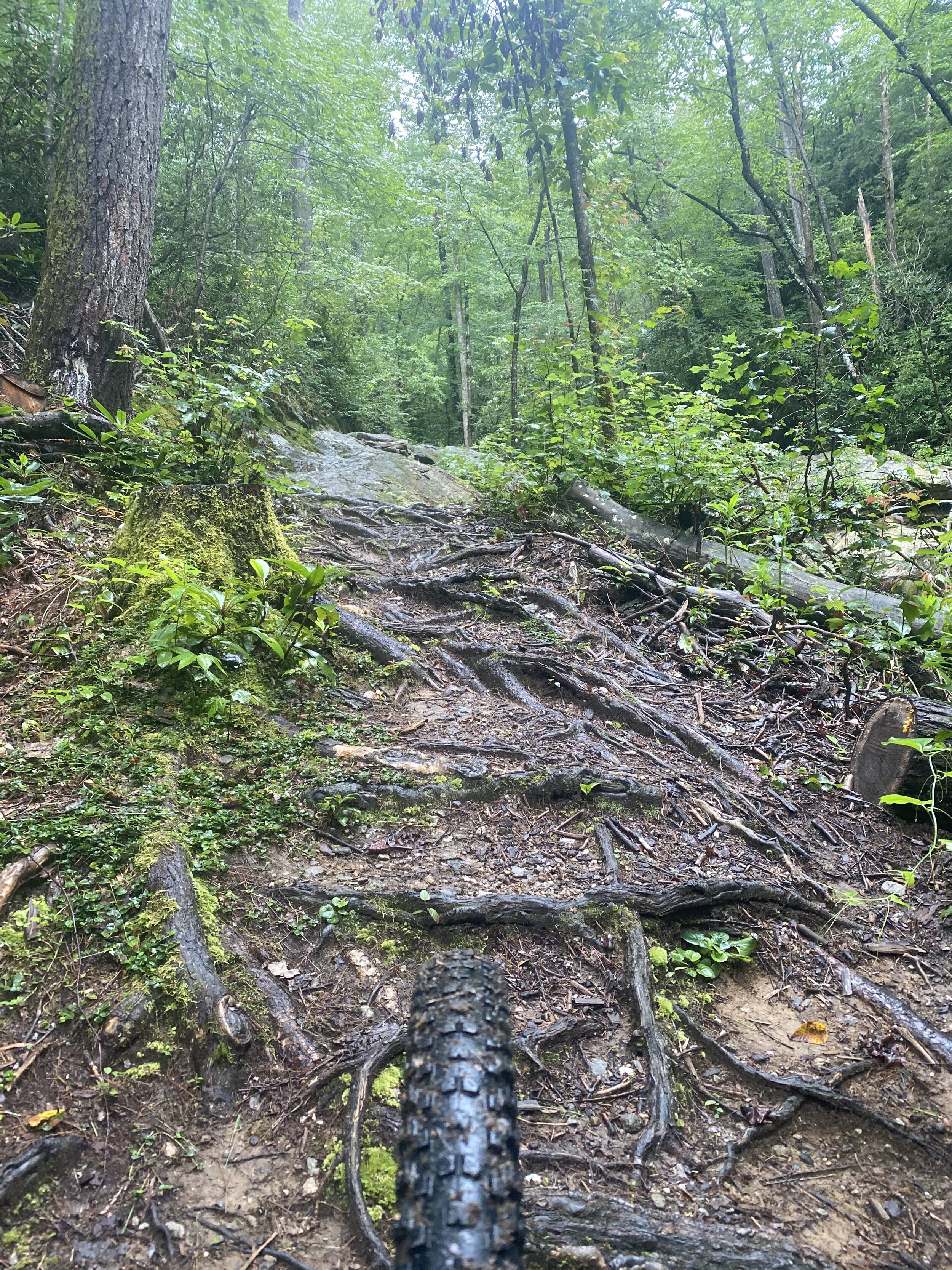
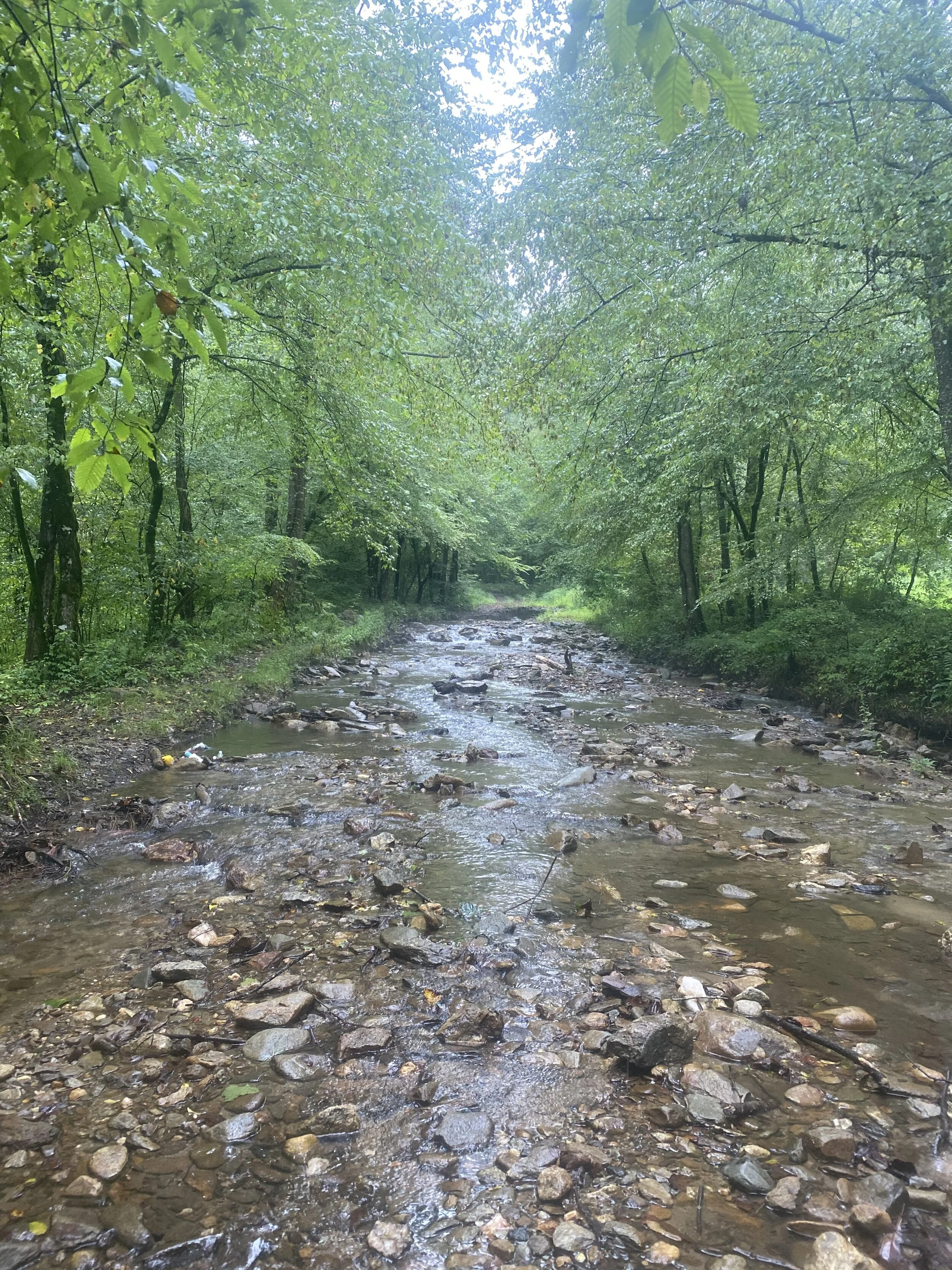
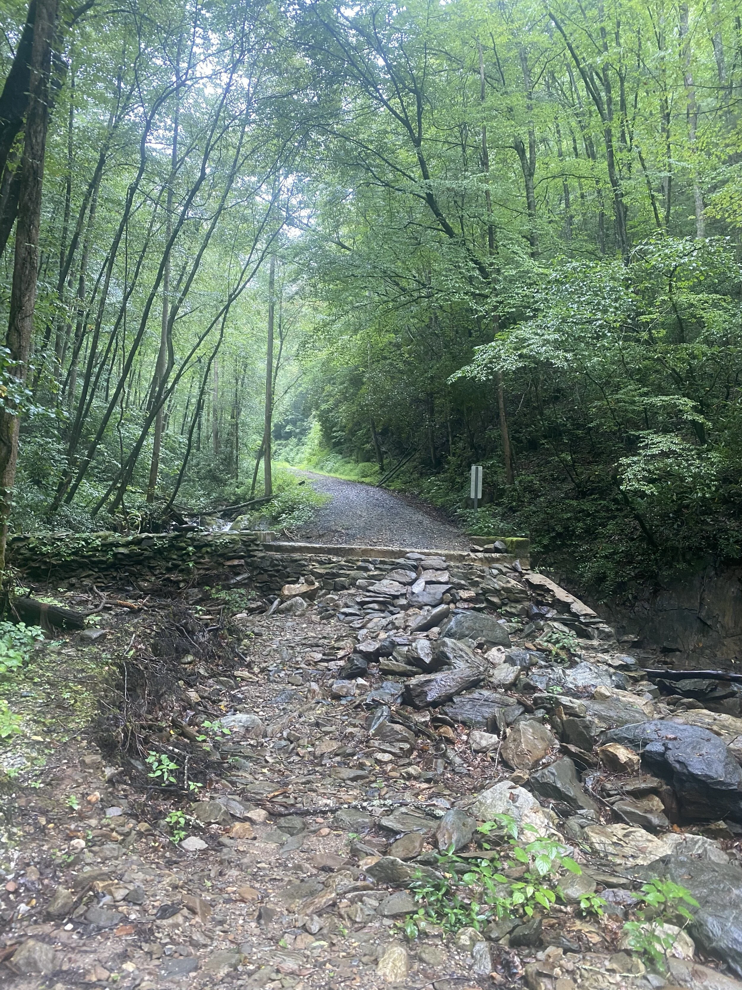
Leaving Betsy’s was a pleasant gravel descent hugging Wilson's Creek for several miles. The route turned off to head up another National Forest Road that was blocked off due to flash flooding that took out a couple sections of the road and one of the bridges. This section got rowdy after reconnecting to the Mountains to Sea Trail. It was the look given to me by the first hikers I passed on the downhill made me wonder what was coming up. First was a water crossing with no walk around options so I gave up on trying to keep my feet dry and made my way through the water. This was followed by a long hike-a-bike up a steep section of roots and rocks slick from fresh rain. After the slow hike I finally found myself back on a paved road that I recognized in the Linville area.
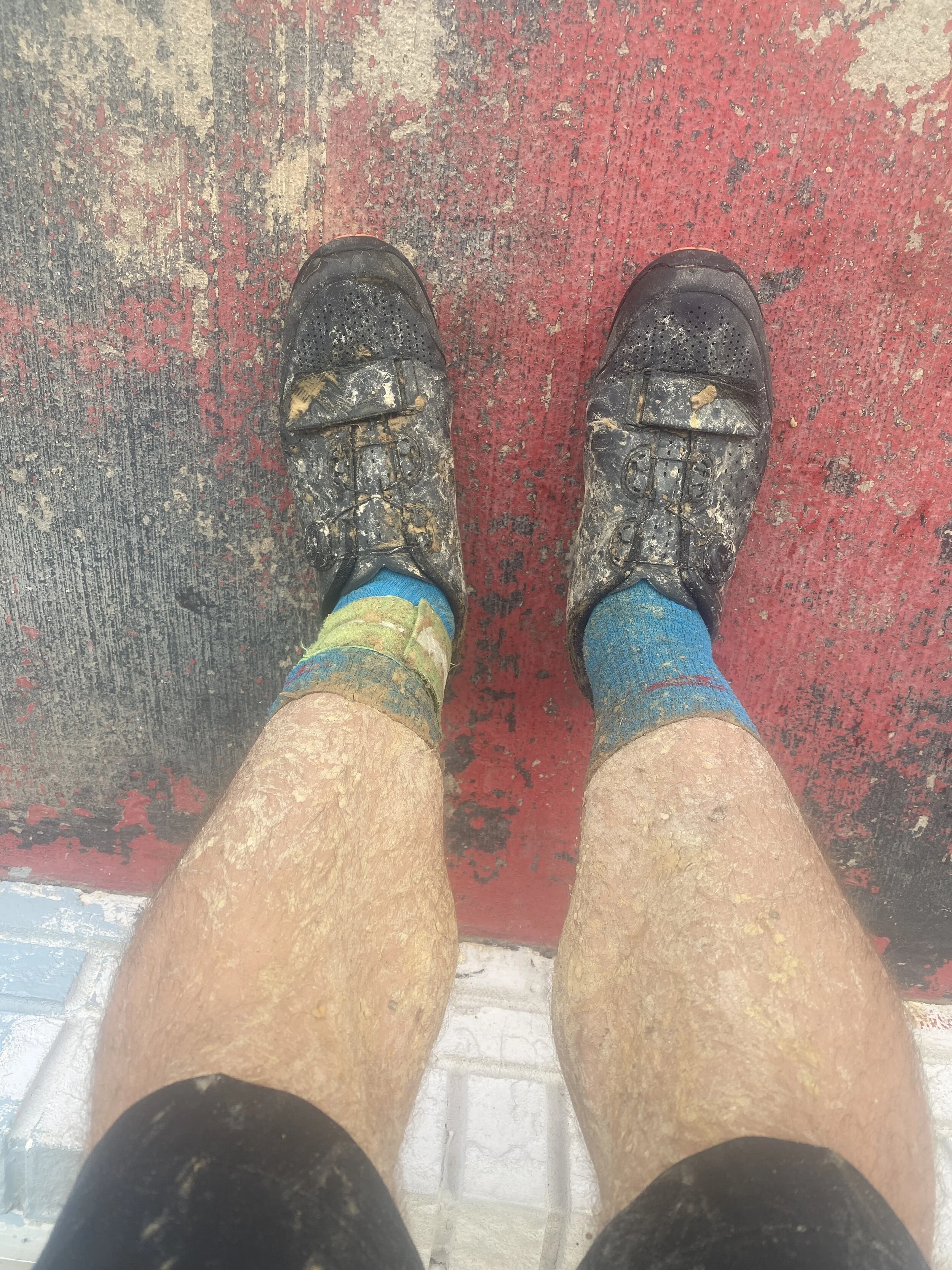
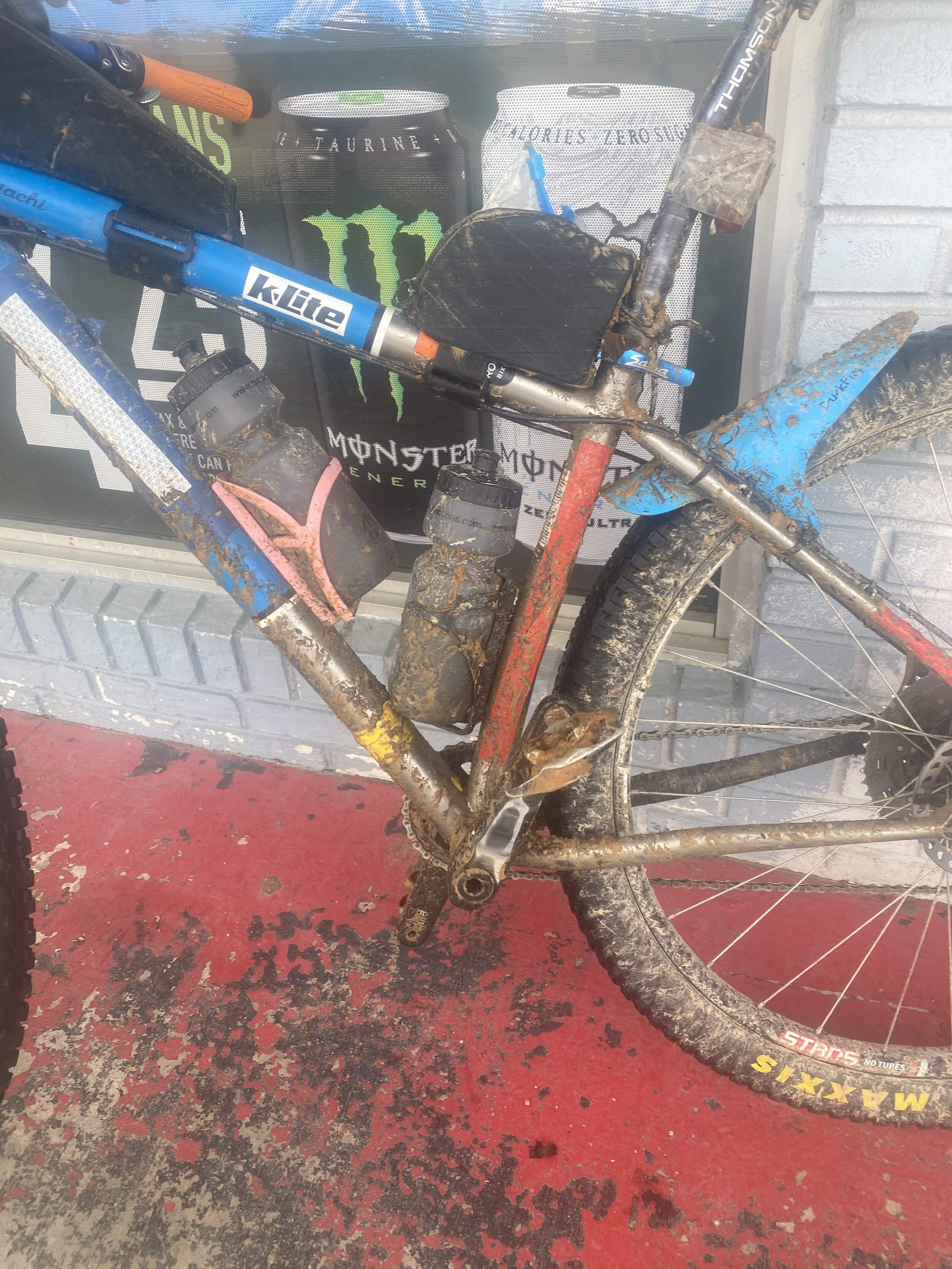
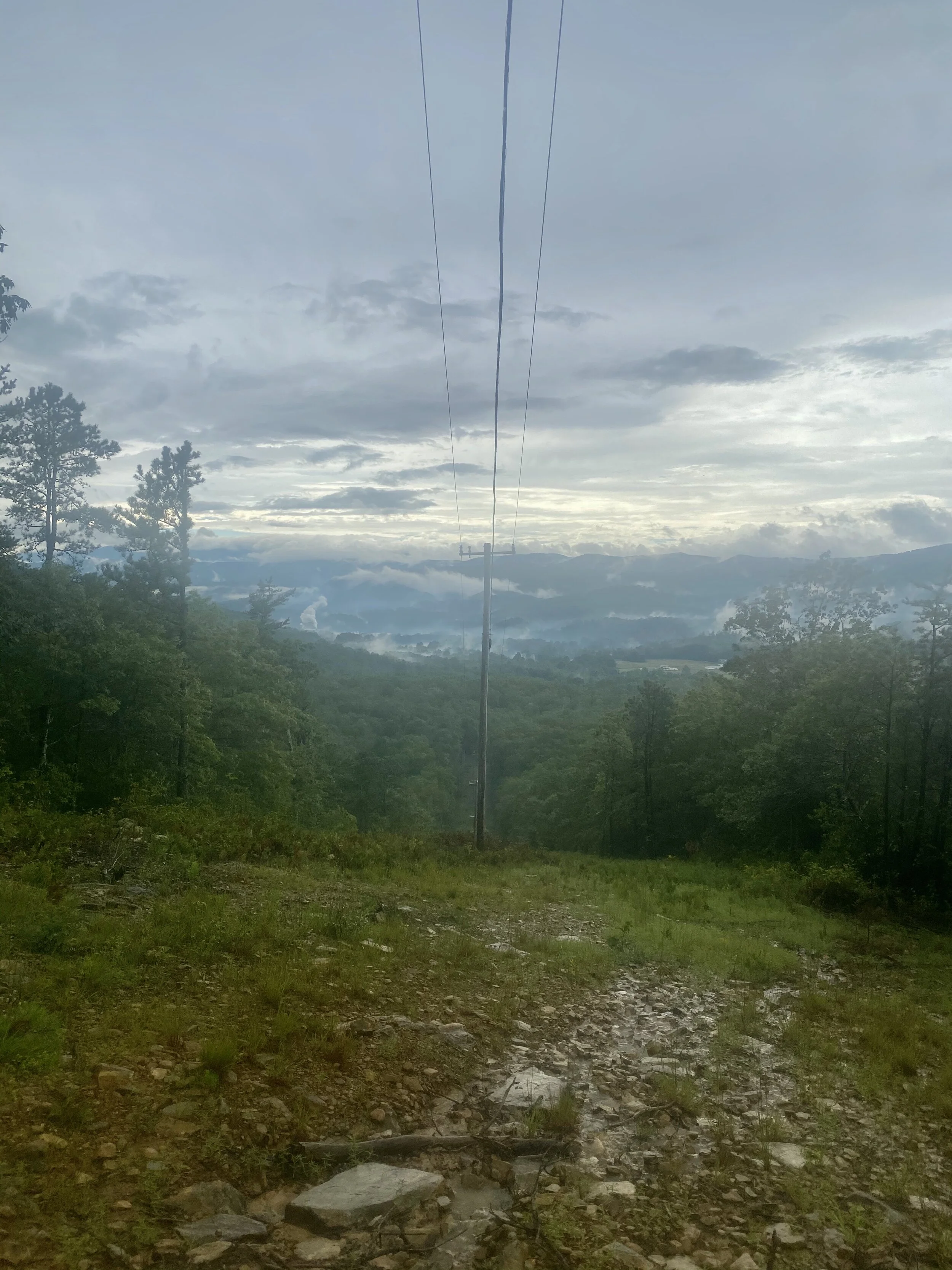
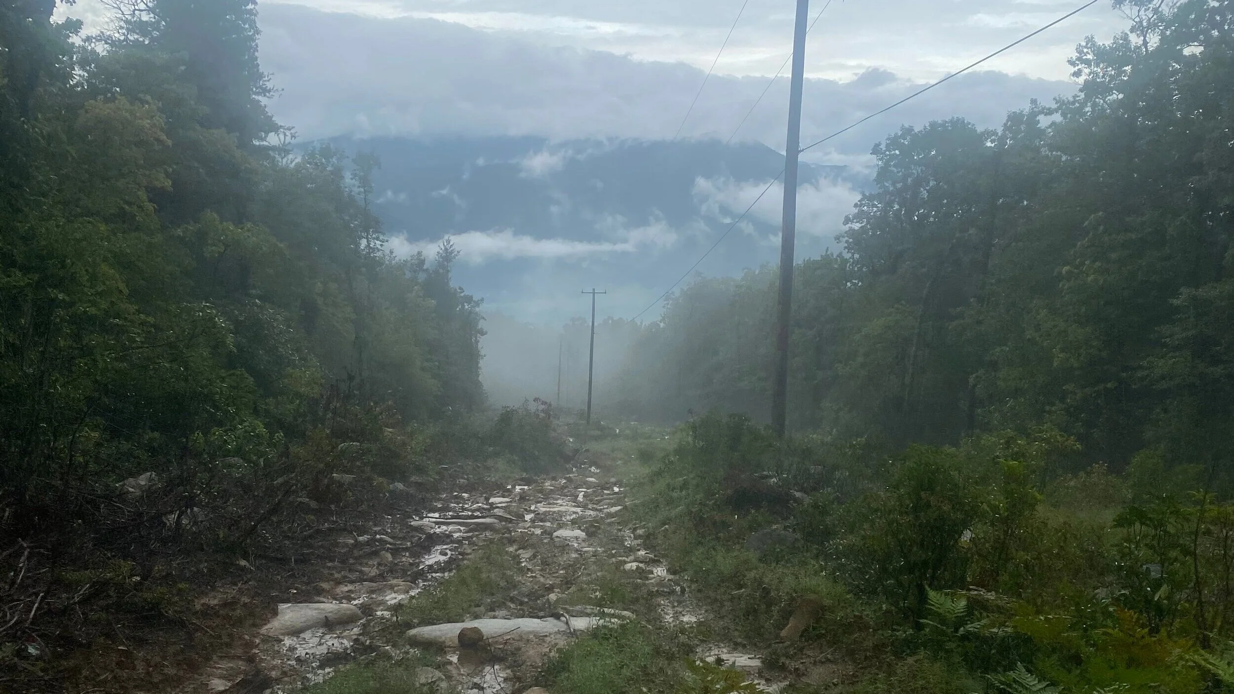
The Linville section caught me off guard both with the weather and terrain. I was feeling ready to descend as I turned off onto Old Highway 105 but I was about to get hit with a flash flood turning the road into sludge from Jeeps churning the ground up. This section was draining me as I continued to slog on when I finally came to the infamous power line trail section. Covered in sand, silt and mud as I made my way down the opening in the mountain side. The power line trail would have been rad on a full suspension bike when the trail was dry but for my hardtail and no dropper I got worked. Finally I made it to a paved road again and then to a gas station to resupply. I was a sugar cookie. Covered from head to toe in sand and grit I knew I would need a dunk in water as soon as possible to prevent further chafing issues.
I started my long way ascent up to Woods Mountain Trail hoping to find a water source to wash off in but I had no luck. Once I connected to the Mountain to Sea Trail section that links to the parkway I was feeling all of the sand that had now turned my hot spots into open wounds that continued to be irritated through the rest of my ride. This section became too technical for me to ride due to the setting sun and overgrowth surrounding the trail. When I saw the Forest Service gate I felt so relieved to be out of the woods soon and on to the Blue Ridge Parkway. My feet were pounding and the chafing area was testing my threshold of discomfort with each pedal stroke.
It was after midnight by the time I reached the turn off for Mt. Mitchell State Park. My level of exhaustion combined with now being in a cloud made it difficult to stay awake as I kept feeling myself nod off while pedaling. I switched up to walking and pushing the bike but not being able to judge distance in the dark fog I would get back on the bike again until I found myself nodding off again. The knuckle between Craggy and Mitchell seemed like a dream as I would fade in and out of consciousness. Wildflowers and brush along the parkway would transform into animals shifting shapes in the haze. From Craggy down was almost all downhill on my way towards Asheville. Chris met me on his bike and joined me in descending to the next turn on the route at the intersection of the Parkway and Town Mountain Road. He had brought me a pizza and soda to help me refuel. I was so exhausted and out of it I ate a few slices then wrapped myself up in my emergency blanket and laid down in the gravel for a two hour nap. When I woke Chris checked on me to see what my next move would be, I already knew it was over as soon as I stood up in my soggy kit feeling all of the wounds from hours of chafing. The FKT attempt was over so I chose the most efficient way home down the Parkway back to my house in East Asheville. The last few miles back to the house made me wonder if I could have kept going? Did I make the right call? For this attempt it was over and it was time to get home to my family and my bed.